[Updated 07/03/22] There are two reasons I especially love hiking in Lake George, NY.
- Most Lake George trails end with glorious views of shimmering water and nearby mountains peaks.
- There seems to be endless options for hiking at a variety of skill levels.
At 32 miles in length, Lake George is the biggest lake in the Adirondacks and has earned the nickname Queen of American Lakes. It is surrounded by mountains that form the southern base of the Adirondacks.
Lake George Village, which lies at the southern tip of the lake, is a popular destination and the perfect home base for a hiking getaway to this gorgeous mountainous region in upstate New York.
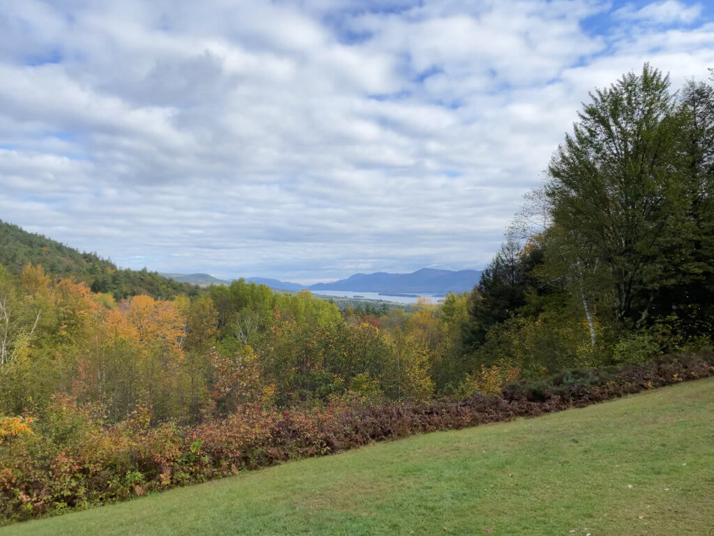
If you’re wondering where in the majestic Adirondacks you should begin to explore, Lake George is an ideal starting point. The mountains that surround it offer numerous well-maintained hiking trails. Most are pet-friendly and many are appropriate for kids, so there really is something for everyone.
The area is also extremely tourist friendly, with Lake George offering all manner of food, accommodations, and recreation for every traveler.
Lake George is an all-season destination. It is a quintessential lake town so it’s at its busiest during the summer, but it comes alive in the fall, too. I also recommend, if you can make a trip in the winter to spend a weekend at the Winter Carnival.
For hiking in Lake George though, the best time to go is from May to November when the weather tends to be drier and milder.
This post is the result of two separate trips. The first took place in late September and the second in mid-October, when the fall leaves were almost–but not quite–at their peak level of colors. Though anytime of year is special, fall in the Adirondacks is simply stunning.

Choosing the Lake George hikes that are right for you can be a challenge because there are so many. On both trips, I decided to stick to easy and moderate trails.
Though more difficult trails certainly do exist, I did not want to wear myself out.
If that sounds like your level of activity, read on to learn about the hiking trails in Lake George that we loved. If you’re a more intrepid hiker, read about how to push yourself to new heights with the Lake George 12ster Challenge (at end of post).
The Pinnacle Preserve
Note: I hiked The Pinnacle and Pilot Knob solo. Matt and I did the remaining three together.
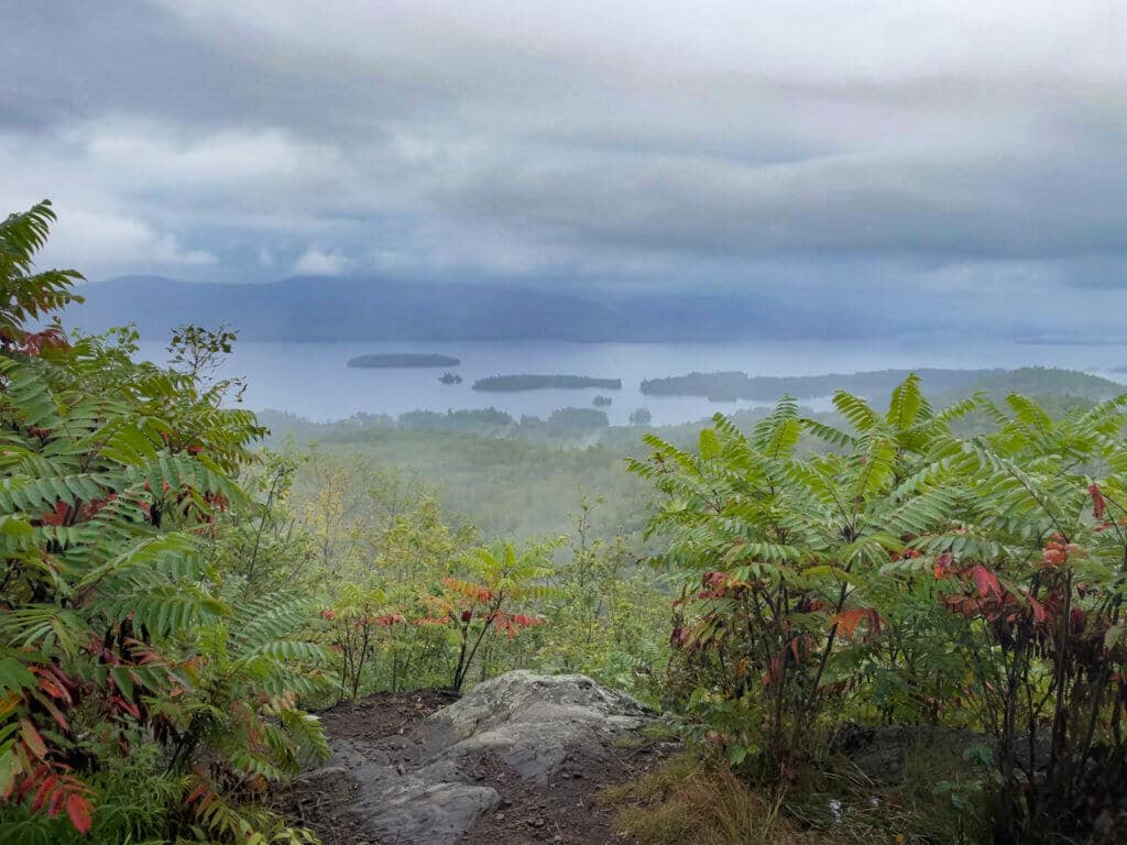
I followed the Red Trail to Pinnacle and found it to be an ideal introduction to hiking in Lake George. Located on the west side of the lake, it’s a two-mile out and back trail. My total hiking time was relatively quick at under 90 minutes.
The trail is well-maintained and rated moderate in difficulty. The frequent uphill stretches of terrain left me feeling like I’d gotten in a good workout, and the views of the lake and neighboring mountains are incomparable.
The Pinnacle trailhead is a 20-minute drive from Lake George Village and only five minutes from Bolton Landing where, incidentally, the Bolton Landing Brewing Company is located–perfect for a post-hike cooldown!
But let’s talk about the hike before we figure out where the cold beers are coming from.
A parking lot for The Pinnacle is located on Edgecomb Pond Road. The lot is spacious with numbered parking for about 20 cars. Parking is free and cars may not park on the road if the lot is full.
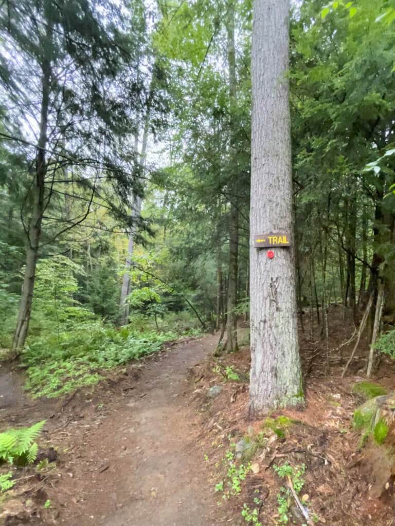
The trail starts out nice and easy. Some gentle hills occasionally become gradual inclines, before leveling off again.
Shortly after it begins, the trail splits. Hikers should follow the red trail to reach The Pinnacle lookout and the blue trail for Bradley’s Lookout (.8 miles from this point).
I stuck to the red trail, where I soon encountered some switchbacks. Here the climb became more strenuous but not terribly so.
Watch your step on this trail. It becomes increasingly more strewn with rocks and tree roots. Those trip hazards were made even more dangerous when the humidity of the morning began to steam up my glasses, making me highly regret not popping in my contact lenses that morning.
Whenever the trail leveled out and I caught my breath, I remembered to appreciate the pretty forest scenery and the tiny chipmunks that caught my eye as they scurried across fallen logs.
My 40-minute hike up was meditatively peaceful. It was a weekday morning in late September and I saw only one other person. I know that having the trail to myself is unusual for hiking in Lake George, and I was thankful for the solitude.
I was, for the most part, surrounded by near total silence broken only by the distant call of birds and leftover raindrops tapping on leaves.
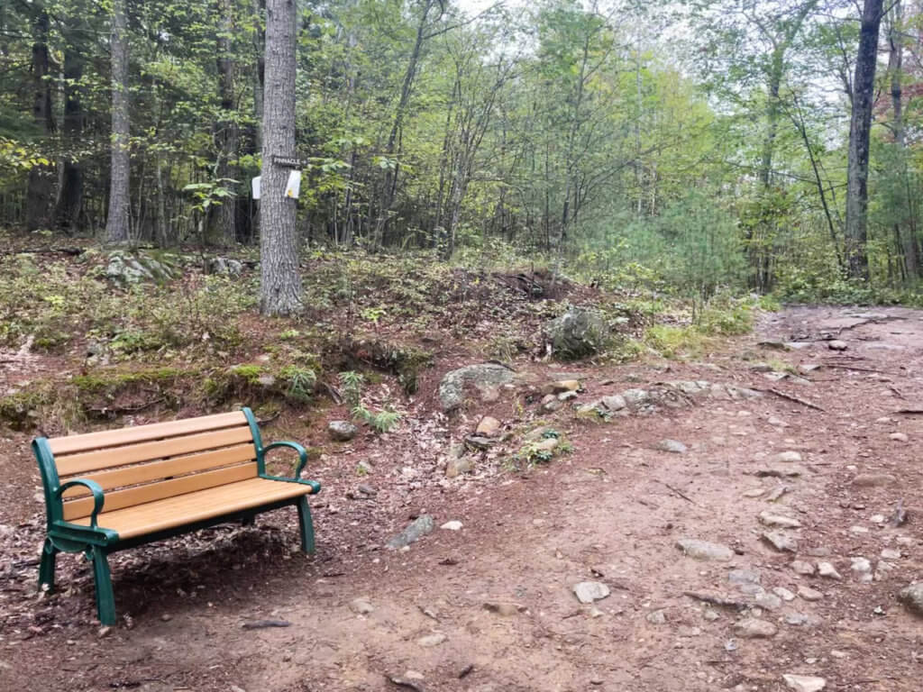
Hikers will find a few benches along the trail. At the second one—which is about one mile in from the trailhead—the trail splits.
A wooden sign points in the direction of The Pinnacle, while a paper sign sheathed in weathered plastic indicates you should start following the yellow trail to Edgecomb (1.3 miles from that point) and Cat Mountain (3.3 miles from that point).
From here, you’re only about ten minutes away from The Pinnacle lookout. There’s a steep but quick final ascent, where hikers are rewarded with sweeping views of Lake George and surrounding mountains. Though I saw only one other person, expect crowds on weekends as this is a popular Lake George hike.
- Trail length: approximately 2 miles
- Dogs on leash allowed.
- Mountain biking on the trail is allowed.
- Open year-round.
- Distance from Lake George Village: 11 miles.
Pilot Knob Preserve
This Lake George trail offers lovely lake views plus two added bonuses:
- A picturesque gazebo set in a bucolic meadow full of wildflowers.
- The option to extend your hike beyond the gazebo to a small waterfall in a pretty forest setting.
Pilot Knob Preserve is also a convenient 15-minute drive from Lake George Village, up the east side of the lake. The parking lot is on Pilot Knob Road and there’s space for about 15 cars. Parking is free.
The trail begins by following the red trail markers up a gradual incline on a trail studded with rocks and tree roots. A series of short staircases, fashioned out of big flat rocks, are in place to assist hikers up the steeper sections of the trail.
Those mini staircases alternate with more leveled-off trail sections.
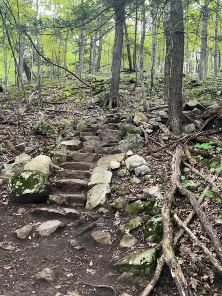
The trail is well-maintained and meanders past large fallen trees, moss-covered boulders, and colorful wildflowers.
The fall leaves were just beginning to change so everything was bathed in a glowing yellow light.
The chipmunks were as adorable and plentiful here as they were on The Pinnacle trail. I also curiously spotted a tiny bright orange lizard-like creature that my iNaturalist app suggested might be an Eastern newt.
One noticeable change from The Pinnacle, which was dead silent, was that almost the entire way up Pilot Knob, I could hear the drone of traffic from the road below. It was dull enough where it faded into the background most of the time.
After a final steep climb, I reached the gazebo. It had taken me close to 30 minutes and by the time I arrived, the muted sound of traffic had been replaced by the sounds of chirping birds and leaves blowing softly in the breeze.
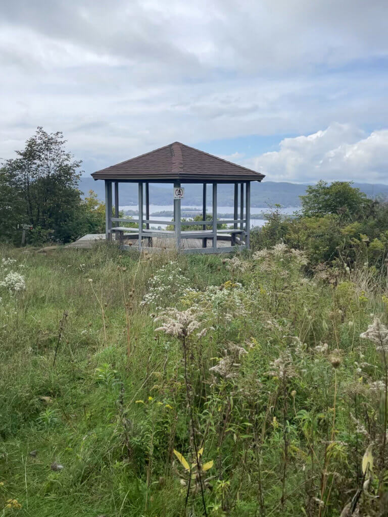
The gazebo is a picture-perfect setting to stop and rest, have some lunch, and take photos of the beautiful view.
Informational signs near the gazebo inform hikers about the birds and mammals that live in these woods. Most—like porcupines, owls, and bobcats—are nocturnal.
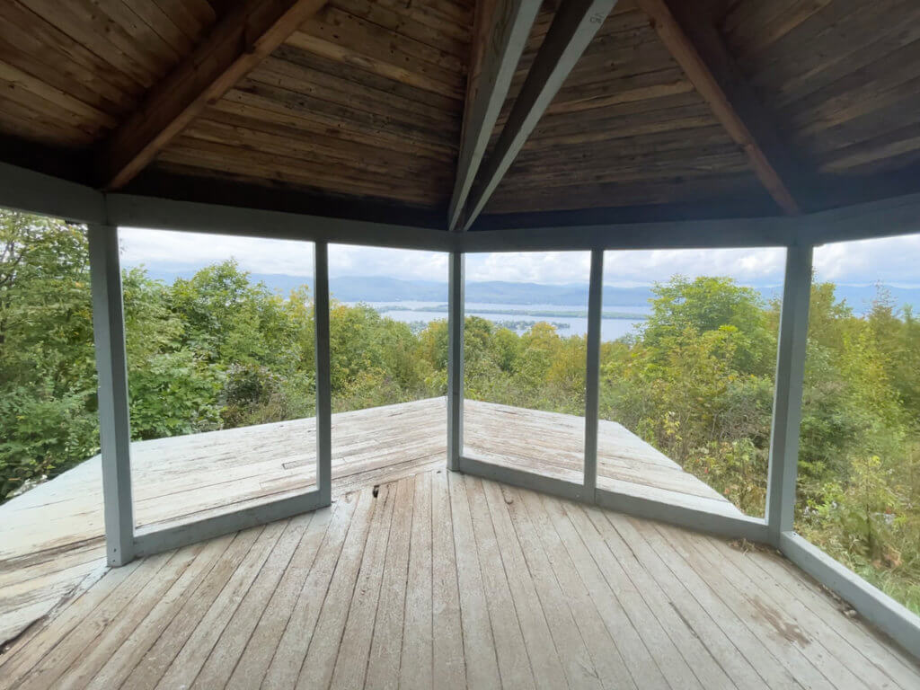
The sky had cleared since the morning, so I decided to go on to the waterfall, which was an additional 40 minutes from the gazebo.
The trail to the waterfall involves some gradual climbing, with rocks and roots once again underfoot.
The waterfall itself is underwhelming so don’t make that the sole point of your hike. However, when I reached it, I did enjoy being surrounded by thick forest and the sound of water softly trickling its way down a narrow gully. By the time I reached the parking lot again, the hike had taken me a total of about two hours.
I encountered only a few people, but Pilot Knob is a very popular Lake George hike and reviews say that it can become extremely crowded.
- Difficulty: Easy to moderate
- Length: 3.8 miles
- Dogs on leash allowed.
- Open year-round
- Distance from Lake George Village: 8.5 miles.
Sleeping Beauty Mountain
It’s important to be aware of the parking situation before heading out to the Sleeping Beauty trailhead, which is located on the east side of the lake.
If driving from Lake George Village (an approximate 40-minute trip), you’ll eventually turn onto Buttermilk Falls Road which will become Sly Pond Road.
The trailhead parking area off Sly Pond Road is for the Hog Town Trailhead. You may park here and walk 1.5 miles along a dirt trail to reach Sleeping Beauty’s trailhead.
Alternatively, if the iron gate at the head of that dirt trail is open, you can drive to the trailhead, which is located at the next parking lot at Dacy Clearing. Be aware that the road to get here is narrow and bumpy so make sure your car is up to the task.
If the gate at the head of the trail that leads to Dacy Clearing is closed, you’ll have no choice but to walk to Sleeping Beauty’s trailhead, adding an additional 1.5 miles to your trek.
Sleeping Beauty’s trail is rated as moderate in difficulty although as soon as we began hiking, one thing was abundantly clear.
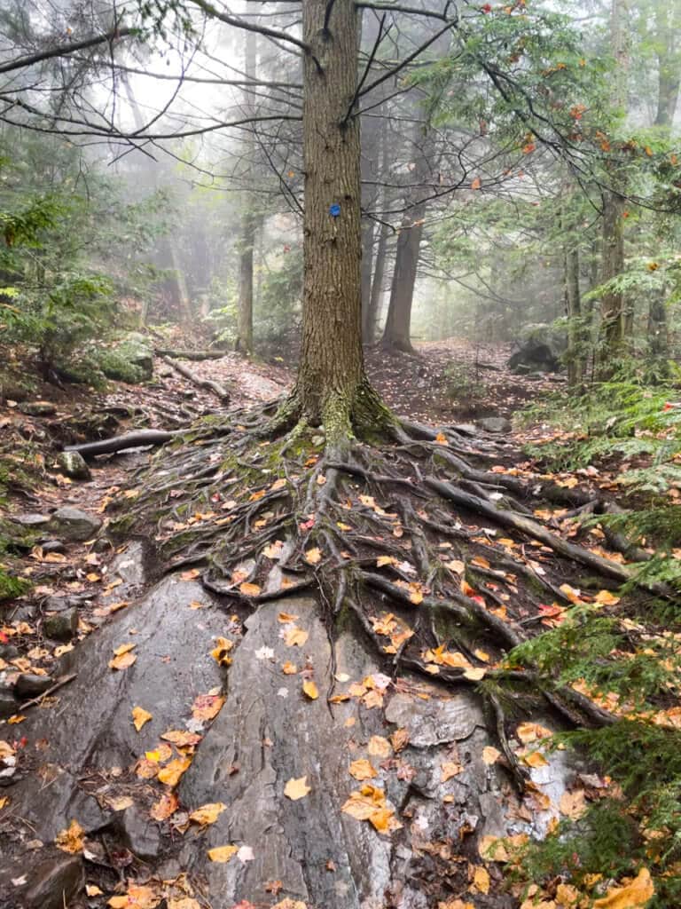
This hike was going to be murder on the ankles.
The terrain is rocky from the very beginning and remains almost steadily so throughout. Those rocks are often scattered between the huge tree roots that crisscross the trail.
It is also an exceptionally scenic hike.
The trail cuts through a mountainside, sloping up to the left and down to the right. A small stream gurgled beside the trail for a while. And the leaves, while not yet at their peak fall colors, showed up in brilliant reds and yellows.
We kept our eyes pinned to the ground to navigate the rocky trail, something that was actually quite pleasant because the ground was carpeted in colorful leaves.
About 20 minutes into the hike, the trail to Sleeping Beauty veers to the right. A posted sign directs hikers to follow the blue trail markers to the summit, which is 1.2 miles from this point.
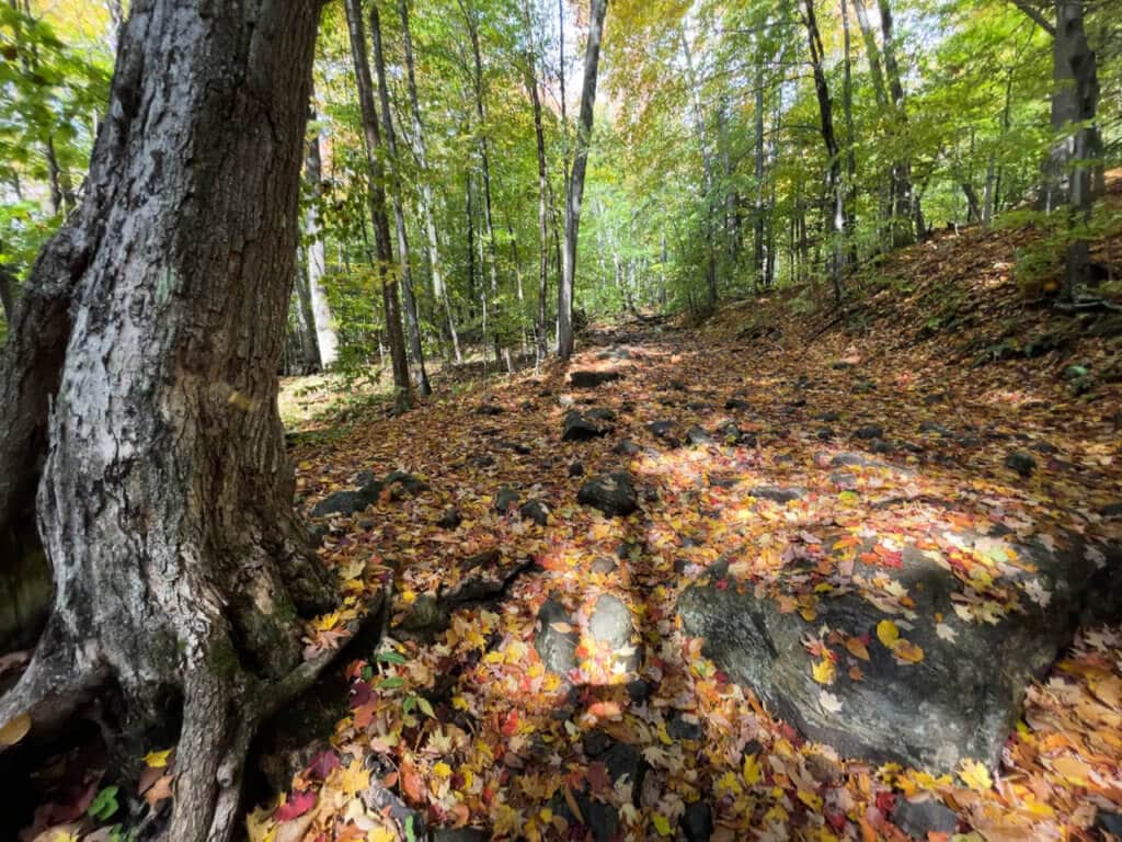
The trail continues to be a mix of uphill gradients and level terrain until the switchbacks, which tend to be steep and make the climb steadily more arduous.
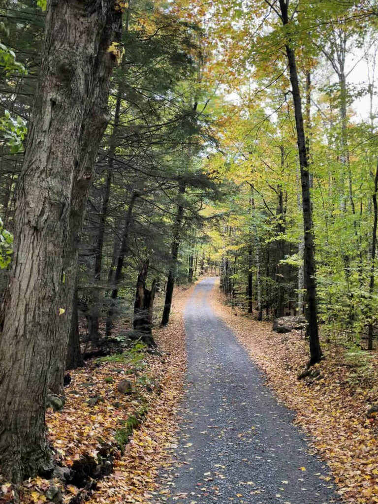
Our hike took place on a day in mid-October. It was unseasonably warm and humid. It was also rather misty and the higher the switchbacks took us, the more we felt elevated into the clouds.
The forest also became denser and that, along with the mist, made for quite a picturesque hike. We were pretty sure we’d meet a wall of clouds at the peak, so we were happy that the journey to get there had such ambiance.
After a heavy rainstorm the previous night, there were some muddy spots along the trail but we mostly managed to circumvent them by finding small paths around the trail.
After about 90 minutes, we reached the top and something unexpected happened.
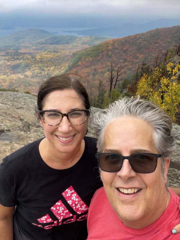
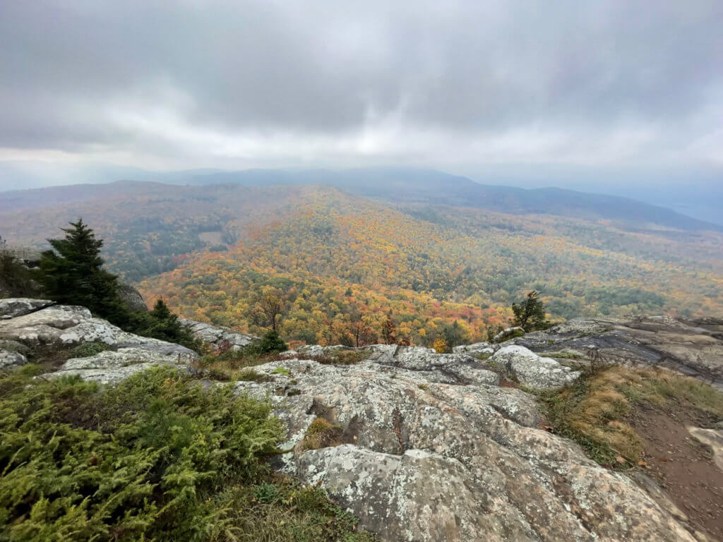
The clouds had parted and we had a view!
One hiker we encountered excitedly told us that he and his friends had been there for 20 minutes hoping for just that to happen. He said that only moments ago, the view was obstructed by a dense wall of fog, which is exactly what we had been expecting.
We stayed at the peak for a while, taking photos and enjoying the moments of sun that graced us.
Note: The point where you reach the view is a false summit. The true summit is another half-mile away but doesn’t offer as good of a view. You also have the option here to extend your hike by going on to Bumps Pond and from there to Fish Brook Pond. This will loop back to the parking lot.
We did not extend our hike and the trip back down to the parking lot took a little over an hour, for a total hiking time of 2.5-hours. This included 10-15 minutes at the top.
Even though our view at the top was a bit obstructed by mist, I think this was my favorite Lake George trail. I couldn’t help but love how our luck changed and a view appeared for us at the top!
- Difficulty: Moderate
- Length: 5 miles when started at Dacy Clearing.
- Dogs on leash allowed.
- Distance from Lake George Village: 21 miles.
Shelving Rock Mountain
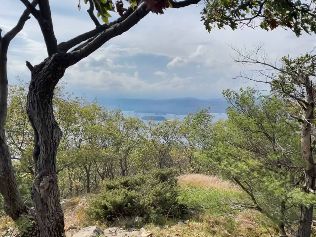
The Shelving Rock Summit trail is rated as easy and it’s a short drive from Sleeping Beauty. For these two reasons, the two hikes pair nicely with each other and could potentially be done on the same day for hikers up to the challenge.
There’s also an option for a short easy hike to Shelving Rock Falls from the same set of parking lots.
If you’re driving from the Hog Town Trailhead parking lot, follow Shelving Rock Road until you begin to reach a series of nine parking lots spaced out along the road. We parked in lot #3, which has the easiest access to the Shelving Rock Mountain trailhead.
The trail to the summit is wide and well-maintained and began with only a slight incline on a packed dirt trail.
However, there was soon enough of an incline and then a series of switchbacks that left me out of breath. I suspect I wouldn’t have been as tired out if this was our first hike of the day, but we had just come from Sleeping Beauty, which had given us quite a workout.
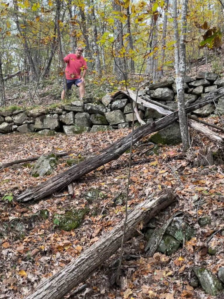
The trail remains steep, although because it used to be a carriage road, it never becomes overly steep. It was very rocky in spots, a terrain that wasn’t easy on feet that were fatigued from navigating our previous hike.
We enjoyed the scenery very much, especially the switchbacks, which were lined with rocky zigzagging retaining walls.
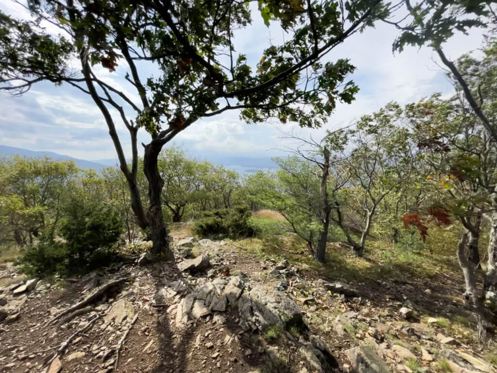
There’s a steady incline for the last few minutes of the hike. It took us about 45 minutes in total to reach the peak.
At the top is a rocky summit with a nice view to the lake, however, it’s not the sweeping view that some other hikes in Lake George offer. There’s some dense foliage at the peak and the tree line somewhat blocks the view. There is a more open view a little further along on the trail, but be careful following it since the trail markers do end once you reach the summit.
- Difficulty: Easy
- Length: 3 miles
- Dogs on leash allowed.
- Distance from Lake George Village: 22 miles.
Shelving Rock Falls
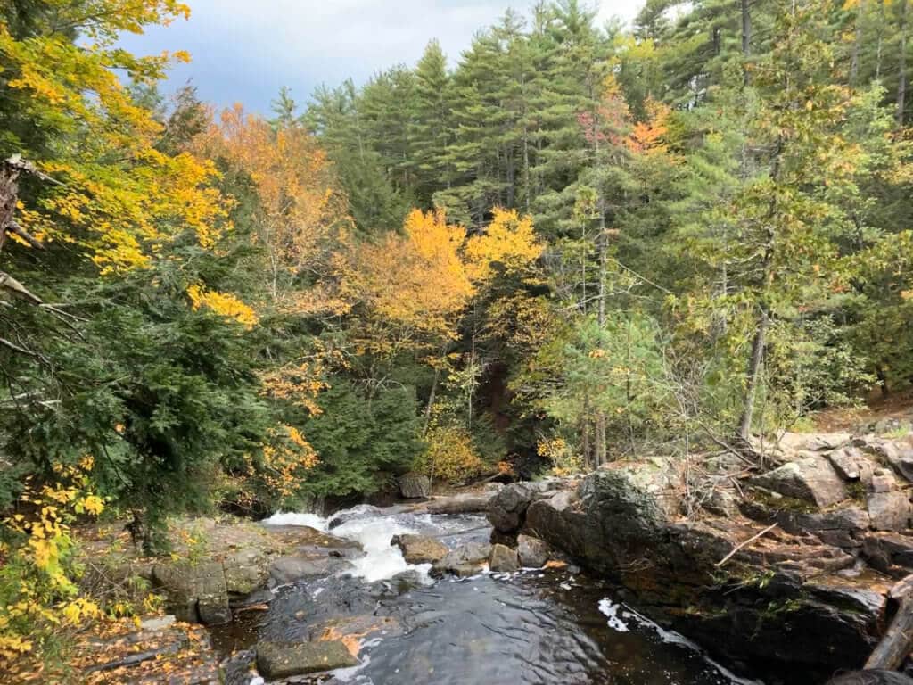
Looking for waterfalls near Lake George?
This short easy hike is more of a nature walk along a scenic wooded creek that leads to a beautiful waterfall.
It makes sense to combine this with the Shelving Rock Mountain trail since the trailheads are very close to each other.
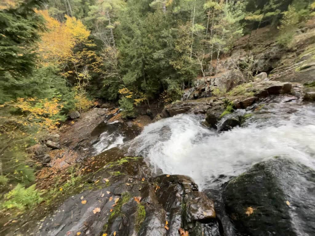
The important thing to know, however, is that they are two separate hikes that each begin at their own trailheads.
Where parking lot #3 is closest to Shelving Rock Mountain trailhead, parking lot #1 is closest to Shelving Rock Falls, although theoretically if parking spots were slim, you could park in one lot and walk between the two trailheads.
From the trailhead, the falls are just .4 miles away and while there’s one small portion at the beginning that’s very rocky, it soon evens out to nice easy trail.
You could end your walk at the top of the falls like we did. It had started pouring rain and we were ready to drop from exhaustion after our two previous hikes. Or you can continue hiking to the bottom of the falls and the shoreline of Lake George. In nice weather, bring a bathing suit and plan to go swimming in Log Bay.
- Difficulty: Easy
- Length: .4 miles
- Dogs on leash allowed.
- Distance from Lake George Village: 22 miles.
Prospect Mountain
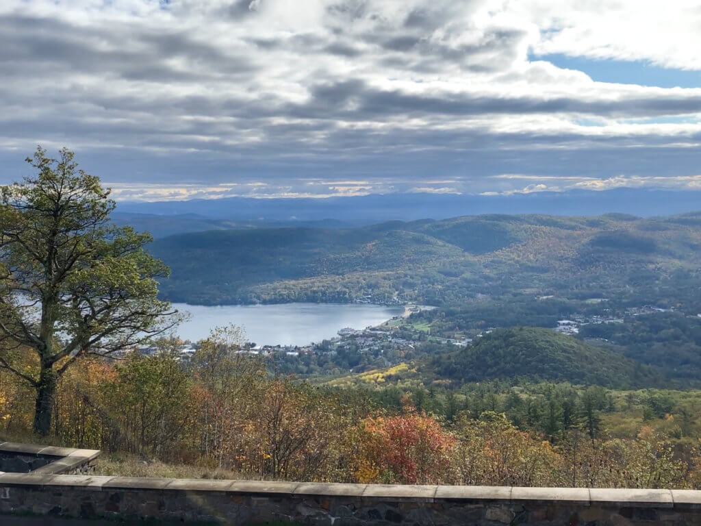
There are two ways to reach the summit of Prospect Mountain, which is located on the west side of the lake. Whichever option you chose, I highly recommend finding a way to take in the spectacular 100-mile view from the top.
Option 1: Hike. The trailhead begins right in Lake George Village and is an extremely popular trail, so expect crowds if it’s a nice weekend.
Because the trail is steep and rocky, it is rated as difficult and not recommended for young children. A round-trip hike is 2.8 miles.
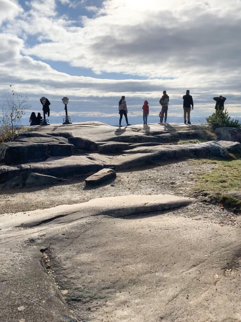
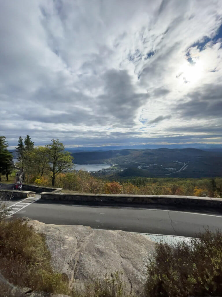
Option 2: Drive. In this case, hiking in Lake George really meant taking the easy way out!
We chose this option because frankly, we were tired from our three hikes the previous day and also the lure of grabbing a hot coffee and driving to the peak on a chilly but brilliantly clear Sunday morning was just too tempting to resist.
The drive is 5.5 miles long on Veteran’s Memorial Highway, a pretty tree-lined road. Before reaching the main parking lot, you’ll reach a series of overlooks with spots for parking to get out and take photos.
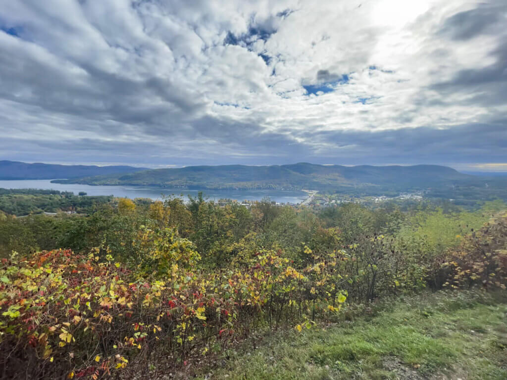
For the best views, be sure to continue to the main parking lot. You can enjoy the views from there, but if possible, I recommend walking up the quarter-mile paved path to the summit.
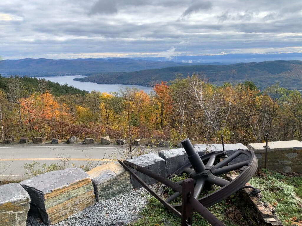
Here are views to the southern end of the lake, the village, the mountains, and beyond. In my opinion, this was the best view of all.
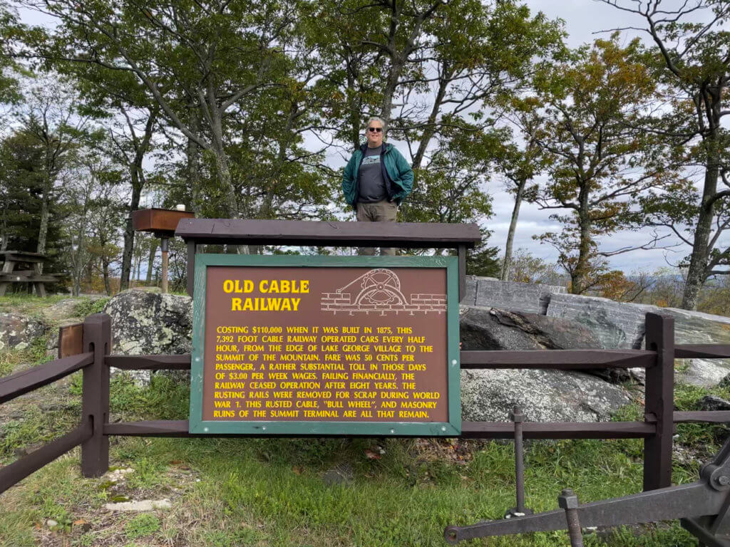
You’ll see the remnants of the Cable Incline Railway, built in 1895 to take visitors up to the summit and to Prospect Mountain House, a hotel which used to be at the summit.
- Hours: Prospect Mountain Veterans Memorial Highway is open from May – November. Through Labor Day: 10 a.m. – 6 p.m.; after Labor Day: 9 a.m. – 5 p.m.
- A shuttle to the top is currently not available.
- Admission: $10 for cars but there is no charge while the shuttle service is unavailable.
Like this post? Pin it and save for future reference!
Take the Lake George 12ster Challenge
Do you want to continue your Lake George hiking adventures? The Lake George 12ster Challenge is an awesome way to do it.
It consists of a 12-peak challenge which totals almost 40 miles in trails. The 12ster challenge was founded in 2016 by Matthew Haley, an avid hiker and endurance trail runner.
Simply hike the 12 designated peaks and then register as a 12ster on the website. You’ll win a patch of achievement and bragging rights for life!
Variations include the Ultra12ster Challenge (complete 12 hikes within 24 hours), the Winter 12ster Challenge (do all hikes between December 21 and March 21), and the Winter Ultra 12ster, a combo of the last two.
The designated 12ster Challenge peaks are:
- Black Mountain
- Buck Mountain
- Cat Mountain
- Thomas Mountain
- Erebus Mountain
- Sleeping Beauty Mountain
- Brown Mountain
- Huckleberry Mountain
- Five Mile Mountain
- Fifth Peak
- French Point Mountain
- First Peak
7 Tips for Hiking in Lake George
- Wear good hiking boots. Because so much of the terrain is covered in rocks and roots, boots provide your feet and ankles with better protection than sneakers, even on the easier trails.
- If you think hiking poles will help you navigate the trails better, do use them. We did not, but saw a handful of people who did, especially on Sleeping Beauty.
- Prepare for the weather. Dress in layers. This is the Adirondacks and the seasons can be unpredictable.
- Be prepared for mud on Lake George trails any time of year but especially in early spring.
- Bring bug spray to protect yourself against mosquitos and ticks. Do a thorough self-check for ticks at the end of each hike.
- Lake George is a hugely popular summer destination so if you’re hiking then, prepare for crowds. Tourists also come in droves to see the changing autumn leaves. I recommend starting your hikes early.
- Be sure to carry out whatever trash you may have accumulated during your hike.
Plus a Bonus Tip!
Want to soothe your tired and aching muscles after hiking in Lake George?
I’ve got just the remedy.
Book a treatment at Roosevelt Baths & Spa in Saratoga Springs. Soak in a soothing mineral bath or get a massage, and you’ll soon feel ready to hit the trails again. Saratoga Springs is only a 30-minute drive down 87S from Lake George and totally worth the trip!
Getting to Lake George Village, New York
Lake George is conveniently located on Interstate 87 South on the route from New York City to Montreal. Distance from major cities:
- New York: 210 miles
- Albany: 62 miles
- Syracuse: 170 miles
- Montreal: 265 miles
In addition to driving, there are several ways to get to Lake George:
- By air: Albany International Airport (ALB) is the closest major airport. From there, rent a car or take an Adirondack Trailways bus to Lake George (call 800-858-8555 for more information).
- By train: Amtrak stops in Fort Edward, located about 20 minutes from Lake George Village. From there, rent a car, take a taxi, or take a bus with Greater Glens Falls Transit.
- By bus: Adirondack Trailways and Greyhound make stops in the Lake George area.
With the exception of Prospect Mountain, a car is necessary to reach the hiking destinations mentioned in this post.
Like this post? Pin it and save for future reference!
